GIS(Geographic Information Systems) 2017

bogotobogo.com site search:
GIS Software
A geographic information system (GIS) is a computer system for capturing, storing, checking, and displaying data related to positions on Earth's surface. GIS can show many different kinds of data on one map, such as streets, buildings, and vegetation. This enables people to more easily see, analyze, and understand patterns and relationships.
Putting information into GIS is called data capture. Data that are already in digital form, such as images taken by satellites and most tables, can simply be uploaded into GIS. Maps must be scanned, or converted into digital information. - from National Geographic
- AutoCAD Map 3D:
It provides access to GIS and mapping data to support planning, design, and data management. Intelligent models and CAD tools help users to apply regional and discipline-specific standards.

- Bentley Map V8i:
Bentley Map is a desktop geospatial information system that is 3D by nature and designed to meet the needs of infrastructure professionals. Bentley Map is offered in three editions aligned with user requirements:
Bentley Map PowerView, Bentley Map, and Bentley Map Enterprise.

- ERDAS IMAGINE:
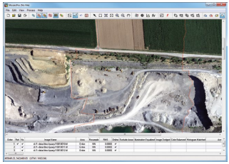
Products include Leica Photogrammetry Suite, ERDAS ER Mapper, ERDAS ECW/JP2 SDK (ECW (file format)) are used throughout the entire mapping community (GIS, Remote Sensing, Photogrammetry, and image compression) and ERDAS APOLLO.

- ArcGIS:
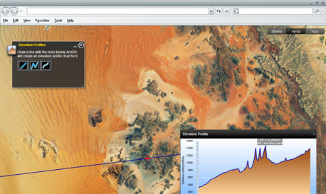
Esri's ArcGIS is a geographic information system (GIS) for working with maps and geographic information.

Other Sources for GIS
- What is GIS?
http://www.nerrs.noaa.gov/
-
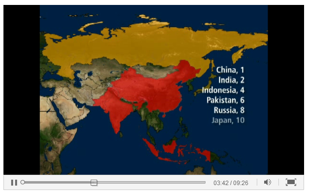
GIS Journey by National Geographics

Ph.D. / Golden Gate Ave, San Francisco / Seoul National Univ / Carnegie Mellon / UC Berkeley / DevOps / Deep Learning / Visualization